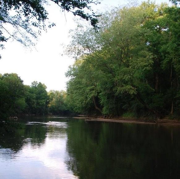
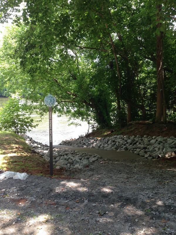
The Rocky River is part of the Yadkin Pee Dee River Basin, and the river forms the boundary between Cabarrus, Stanly, Union and Anson Counties. The Rocky River’s headwaters begin in southern Iredell county and terminate at the confluence with Yadkin Pee Dee at Fork Farms (Catawba Lands Conservancy has a conservation easement on this property) in Stanly County. It is unconfirmed but believed that the Rocky River is the longest undammed river in North Carolina. The Rocky River Blueway of the Carolina Thread Trail network is approximately 49 miles in length where paddlers can experience varying degrees of difficulty depending on the amount of precipitation.
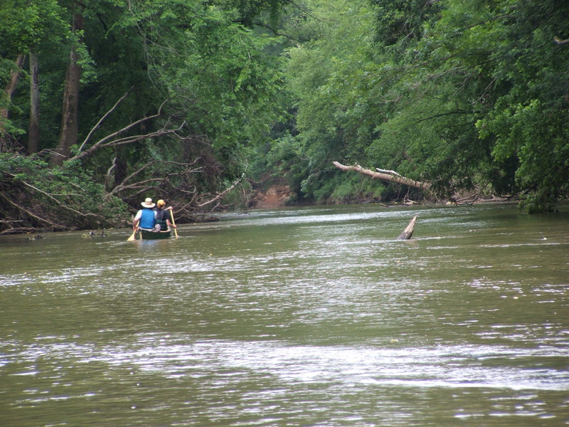
On this stretch of blueway, you will experience what the Piedmont floodplain forest habitat has to offer a paddler visiting upclose. Over 50 species of birds call this area home, including some imperiled species within the region. Birders will enjoy the opportunity to see prairie warbler, Prothonotary warbler, red-headed woodpecker, great blue heron, eastern meadowlark, pileated woodpecker, and kingfisher. Paddlers may also hear the calls of the Cope's gray tree frogs, cricket frogs, spring peepers and upland chorus frogs or see over 10 species of butterflies like the Carolina satyr. The shoreline is trimmed with numerous floodplain trees, including the bitternut hickory, sourwood, cottonwood, swamp chestnut oak, and the black walnut.
This portion of the Rocky River is also very close to the Little Meadow Creek. This is historically relevant as the Little Meadow Creek was the site of the America’s first Gold Rush. For more information, visit the Reed Gold Mine.
Check the water levels with the link provided under Launch 1 before you plan your trip.
Available Paddling Service:
(704) 781-7454
Available campgrounds:
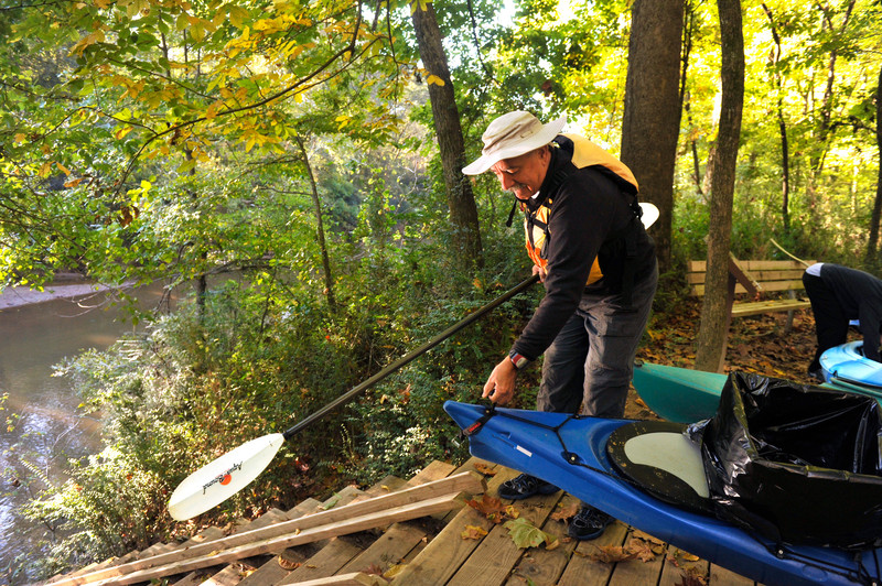
The Rocky River Blueway has six canoe/kayak launches located along its course. The northern most put-in is located in Pharr Family Preserve and is maintained by Catawba Lands Conservancy. The next launch is 4.5 miles downstream at Riverbend Farm and is maintained by the Town of Midland. At this time, there is no access point between Riverbend Farm and ROPP Nature Park. Please be respectful of adjoining private property along the river and limit use to public launches. After the confluence of the Rocky and the Pee Dee, the Pee Dee River blueway flows another 19 miles until to the Bleweet Falls Dam in Lilesville, NC.
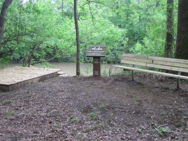
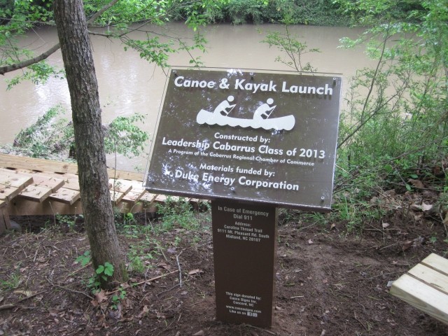
Launch 1: Pharr Family Preserve
Address - 9111 Mt. Pleasant Road South, Midland, NC 28107 MAP
Canoe/Kayak Launch: MAP
*The canoe/kayak launch is 300 yards from the parking lot and trailhead.
Operated by Catawba Lands Conservancy
Current water levels (zoom in on the map and hover over the green square between Concord, NC and Midland, NC labeled “IBFN7”)
Launch 2: Riverbend Farm (Approximately 4 miles from Pharr Family Preserve)
Address - 12150 McManus Road, Midland, NC 28107 MAP
Canoe/Kayak Launch: MAP
Operated by the Town of Midland
Launch 3: Oakboro Blueway Park I (Approximately 18 miles from Riverbend Farm)
Address - 7801 NC-205, Marshville , NC 28103 MAP
Operated by the Town of Oakboro
Launch 4: Oakboro Blueway Park II(Approximately 7 miles from Oakboro Blueway Park I)
Address - 10739 NC 138, Oakboro, NC 28129 MAP
*This launch is on Long Creek on river left. You must paddle up Long Creek roughly .3 miles to access the launch on your left.
Operated by the Town of Oakboro
Launch 5: Plank Road (Approximately 10 miles from Oakboro Blueway Park II)
Address - 5437 Plank Road, Wadesboro NC 28170 MAP
*This address is approximate. The launch is located where Plank Road crosses the Rocky River, near the intersection with Woodall Road.
Operated by Anson County
Launch 6: Norwood (Approximately 5.5 miles from Plank Road)
The launch is located on the corner of Riverview Rd and Hwy 52 South at the Rocky River Bridge.
*Norwood launch 911 address-6823 Riverview Rd
Operated by Town of Norwood
After approximately 7.5 miles downstream, the Rocky River confluences with the Pee Dee River and continues for another 19 miles to Lilesville, NC to take out at Blewett Falls Lake. At this access, the Thread Trail blueway segment of the Pee Dee River ends. There is a dam at Blewett Falls Lake, but no trail to use to portage around the dam. You can access the river below the dam at Blewett's Grave Access and continue a short distance to the Rockingham Access. Please view the Pee Dee River Blueway Map for more information.
Success! A new password has been emailed to you.