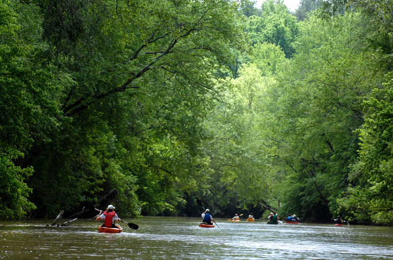
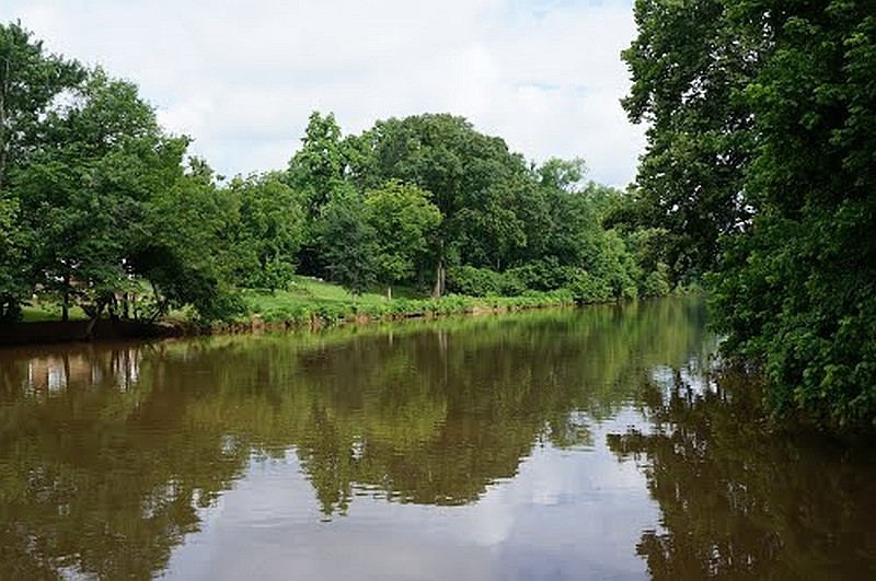
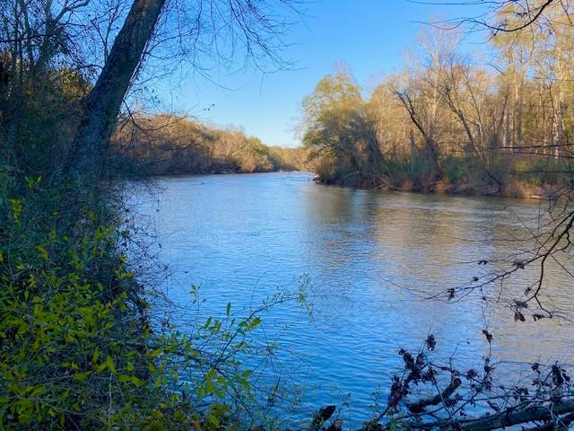
The South Fork Catawba River is west of the Catawba River and merges with the Catawba River at Lake Wylie near the South Carolina border. The river offers miles of natural landscapes, with great fishing and paddling opportunities. The South Fork Catawba River is home to a variety of wildlife, including great blue herons, osprey, bald eagles, and deer. Users who access the river from the Spencer Mountain River Access will paddle through some of the most ecologically diverse lands in our region, many of which are permanently protected by the Catawba Lands Conservancy. Downriver from the dam, paddlers will encounter the headwaters of Lake Wylie, enjoying slower moving water and a number of rich wetlands along the stream banks.
There are currently nine access points for the South Fork Catawba River Blueway. Catawba Lands Conservancy manages the Spencer Mountain River Access which is a canoe/kayak launch to provide public access to the South Fork Catawba River. The most popular paddling trip is from Spencer Mountain River Access to the R.Y. McAden River Access; this access point is 5.5 miles downriver and the trip takes approximately 2.5 hours. Depending on the current water level, the river features may vary from slow moving water with a few Class I/II rapids to more concentrated rapids at approximately mile 3.5.
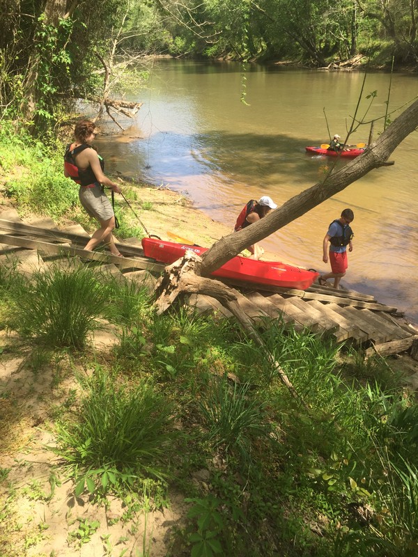
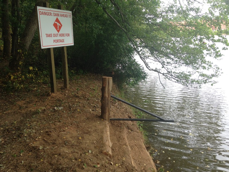
There is a dam approximately 5.5 miles downriver from Spencer Mountain River Access. Users can exit the river on river right (west side of the river) before the dam at the R.Y. McAden Access just south of the I-85 overpass. Those who wish to continue downriver to Goat Island Park or Riverside Park can use the Adam Springs Portage Trail on river left (east side of the river), approximately 450 feet downriver from the R.Y. McAden Access. Look out for a white sign (see below in pictures) stating “Danger Dam Ahead. Take Out Here for Portage”. Please be aware that the portage trail is close to the dam. We suggest paddling as close to river left as possible (see *Special notes). The South Fork blueway continues for another 2.5 miles, ending at the Goat Island Park launch or Riverside Park launch, both in the town of Cramerton.
A list of local kayak/canoe outfitters can be found on the Services tab.
The South Fork Catawba River is a narrow, free-flowing river so water levels throughout the year are highly variable due to local rainfall as well as rainfall upstream. Check the water levels before heading out to the river, and be aware that river levels can change quickly over a short period of time. Average flow rates for the South Fork River in summer are between 400 to 500 CFS (cubic feet per second) and the river is relatively shallow and rocky with no whitewater. However, Class I and II rapids will develop at higher flow rates, and previous experience paddling in whitewater is recommended if you choose to run the river when flow rates are above 1000 CFS. You can scout out a section of the river on foot via the South Fork Trail.
Predicted water levels (zoom in towards Gastonia, NC and hover over the green circle labeled “LOWN7”)
Available Paddling Services:
704-829-3455
704-734-8599
The site manager for each launch is listed under the launch information.
The South Fork Catawba River Blueway has a number of boat launches located along its course. The northern most put-in is located in Spencer Mountain.
A list of local kayak/canoe outfitters can be found on the Services tab.
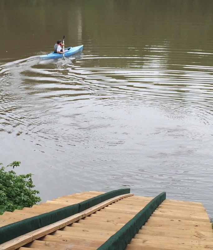
Launch 1: Spencer Mountain Access
Address - 261 Stanley-Spencer Mountain Road, Spencer Mountain, NC 28164 MAP
Canoe/Kayak Launch: MAP
*Special note: The Spencer Mountain access is by pass only. A pass can be requested through Catawba Lands Conservancy here.
Owned and managed by Catawba Lands Conservancy
Launch 2: South Fork River Park Access (Approximately 3.5 miles from Spencer Mountain)
Address - 4185 Mountain View Street, Gastonia, NC 28056 MAP
Canoe/Kayak Launch: MAP
Operated by Gaston County
Launch 3: R. Y. McAden Access (Approximately 2 miles from South Fork River Park)
Address - 119 Willow Drive, McAdenville, NC 28101 MAP
Canoe/Kayak Launch: MAP
Operated by Catawba Lands Conservancy
**CAUTION - DAM below this access. There is a portage trail on river left accessible by water only.**
Launch 4: McAdenville Launch
Address - 501 Lakeview Drive, McAdenville, NC 28101
Launch 5: C.B. Huss River Access (Approximately 1.8 miles from South Fork Village)
Address - 382 11th Street, Cramerton, NC 28032 MAP
Canoe/Kayak Launch: MAP
Operated by Town of Cramerton
Launch 6: Goat Island Park Access (Approximately .5 miles from C.B Huss)
Address - MAP
Canoe/Kayak Launch: MAP
Operated by Town of Cramerton
Launch 7: Centennial Center Access (Across the river from Goat Island Park)
Address - 100 Center St, Cramerton, NC 28032 MAP
Canoe/Kayak Launch: MAP
Operated by Town of Cramerton
Launch 8: Riverside Park Access (Approximately 1 mile from Goat Island Park)
Address - Riverside Drive, Cramerton, NC 28032 MAP
Canoe/Kayak Launch: MAP
Operated by Town of Cramerton
Launch 9: Baltimore River Access (Approximately 0.5 miles from Riverside Park)
Address - 301 Cramer Mountain Road, Cramerton, NC 28032 MAP
Canoe/Kayak Launch: MAP
Operated by Town of Cramerton
*The launch is located at the foot of Cramer Mountain and near the historic Baltimore Community in Cramerton. Future plans have a greenway and sidewalk connection to the top of the mountain and to downtown Cramerton.
Success! A new password has been emailed to you.