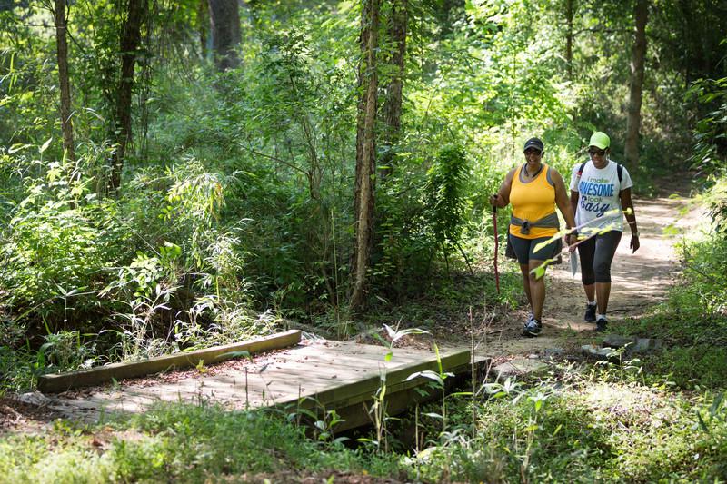
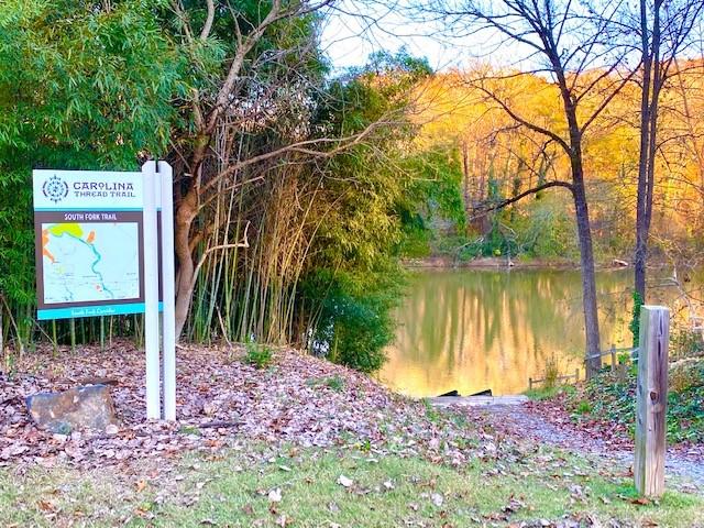
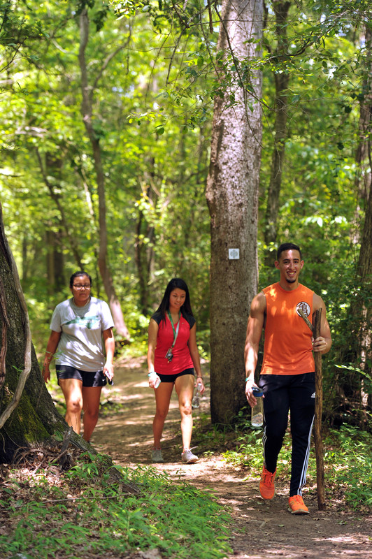
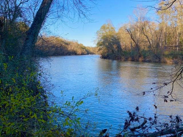
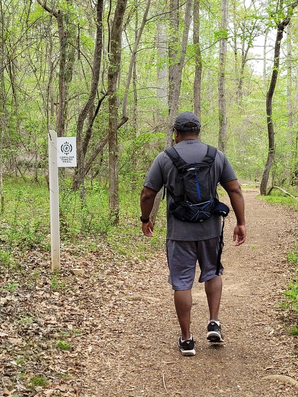
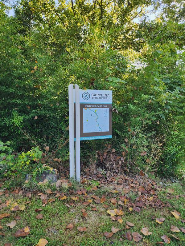
The Pharr Yarns Family Trail, formerly known as the South Fork Trail, is a 2.4 mile mixed surface trail which includes natural, gravel, and paved surfaces. The trail follows the bank of the South Fork of the Catawba River and connects the quaint towns of McAdenville and Lowell. This is an out-and-back trail, totaling 4.8 miles round trip if you start from the McAdenville Greenway Park parking area.
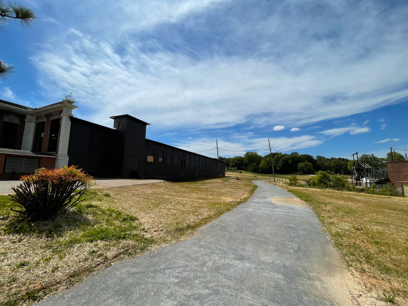
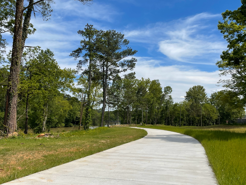
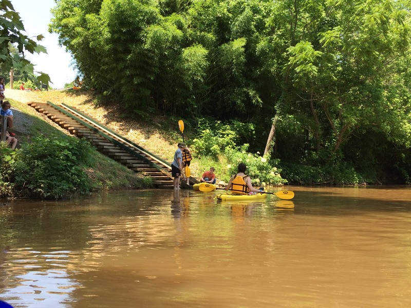
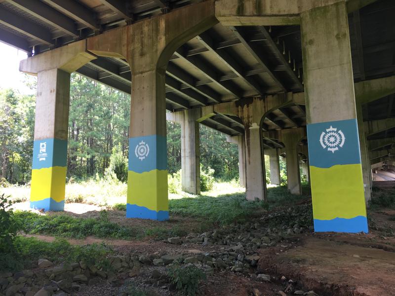
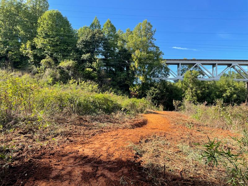
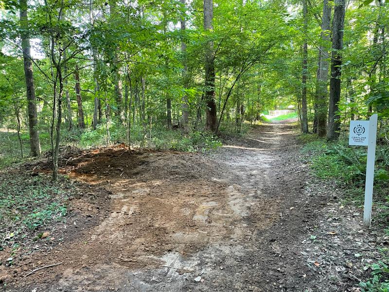
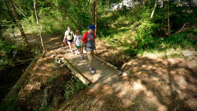
There are two parking areas for the trail. The McAdenville Greenway Park parking area or at the Catawba Riverkeeper Boathouse. If you park at the Catawba Riverkeeper Boathouse and head north towards Lowell then the trail is 2 miles long one way. The crushed gravel and concrete surface portion (.4 miles one way) of the trail starts on a sidewalk from the McAdenville Greenway Park then leads you to the Catawba Riverkeeper Boathouse. From the Boathouse the trail is natural surface and travels underneath the I-85 bridge and quickly meanders through a quiet section of woods along the river. The trail ends at the cul-de-sac of the Riverview residential neighborhood in Lowell, NC. While no parking is available at this end of the trail, there is pedestrian access for neighborhood residents. The land surrounding the natural surface portion of the trail is on the Pharr Yarns Preserve, a 94.8-acre preserve protected through the Catawba Lands Conservancy.
1.4 miles into the trail from downtown McAdenville is Cable Point. A lookout area dedicated to Dave Cable, a former Catawba Lands Conservancy Executive Director and visionary, for his years of service to our region.
This is a historic trail that was originally used by the Native Americans and then utilized by settlers for textile mills. There were two mills in the woods along the trail. One was the Ferguson Mill and the other one was nicknamed Pinhook. Opened in August 1852, the Pinhook Mill was the second mill to operate along the South Fork River. According to Gaston County historian Robert Ragan, the mill received its name because mill workers’ would use bent textile pins to fish for lunch outside the building’s windows. During the Civil War, a small detachment of Union soldiers were sent to burn down Pinhook Mill, which was producing cloth for the Confederacy. Upon hearing the soldiers coming, mill superintendent William Sahms ran out to meet the Union troop, only to find them led by his Pennsylvanian childhood neighbor. Sahms convinced the soldiers to spare the mill and the soldiers burnt the bridge instead.The stone pillars of the bridge are still in the river.
The trail was renamed by the Carolina Thread Trail to recognize a generous gift made by the Carstarphen family to the organization. The Carstarphen family asked CTT to name the trail in honor of the numerous wonderful employees who have worked for Pharr Yarns through the years. They also wanted to recognize their employee's commitment to make Gaston County and McAdenville a wonderful place to live, work, and play.
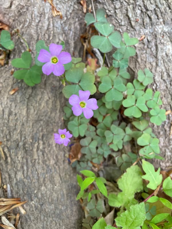
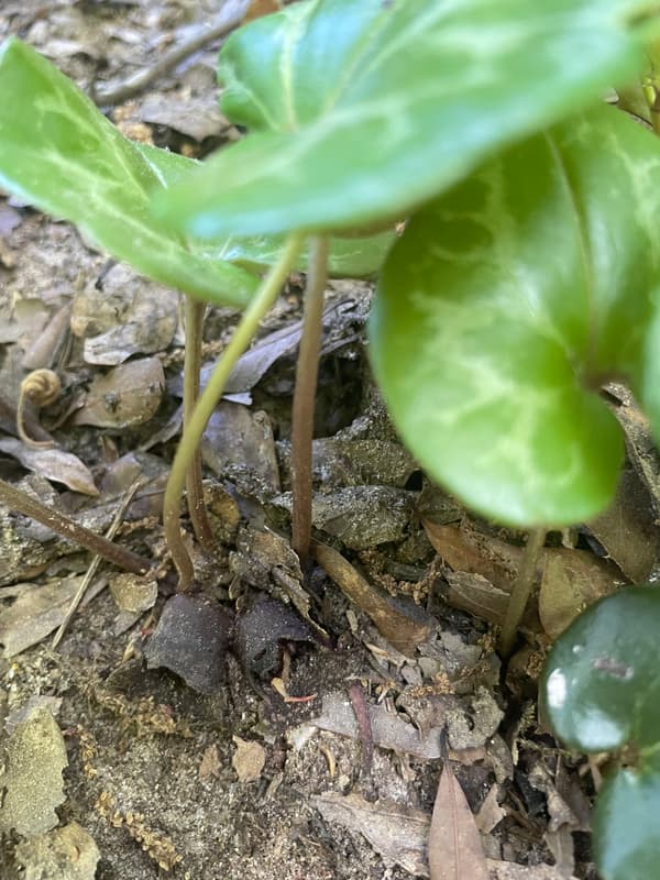
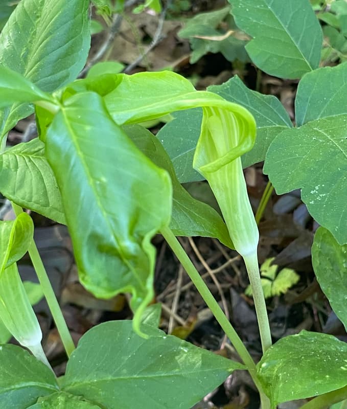
The Pharr Yarns Family Trail is a part of the Butterfly Highway. "The Butterfly Highway is a statewide conservation restoration initiative that aims to restore native pollinator habitats to areas impacted by urbanization, land use change and agriculture across North Carolina. From backyard Pollinator Pitstops to large-scale roadside habitat restoration, the project is creating a network of native flowering plants to support butterflies, bees, birds and other pollen and nectar dependent wildlife." NC Wildlife Federation-Butterfly Highway Website
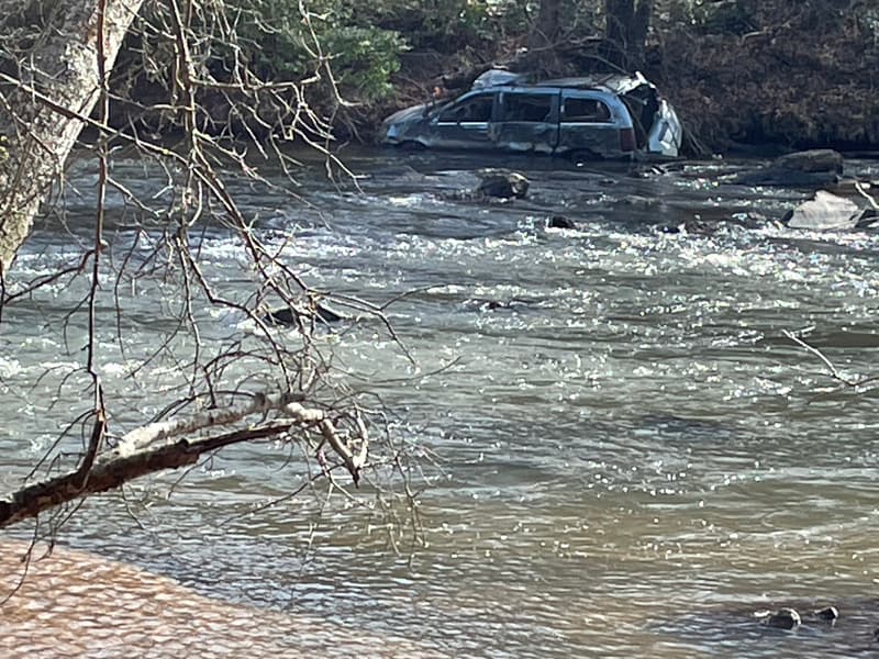
Special Note: While the trail is relatively flat, there are a number of areas that have the potential for flooding during heavy rainfall. Hikers, mountain bikers, and runners should take caution on this trail after heavy rainfalls.
Visit Catawba Lands Conservancy website for more information or contact:
A section of these trails is closed, please plan accordingly.
Success! A new password has been emailed to you.