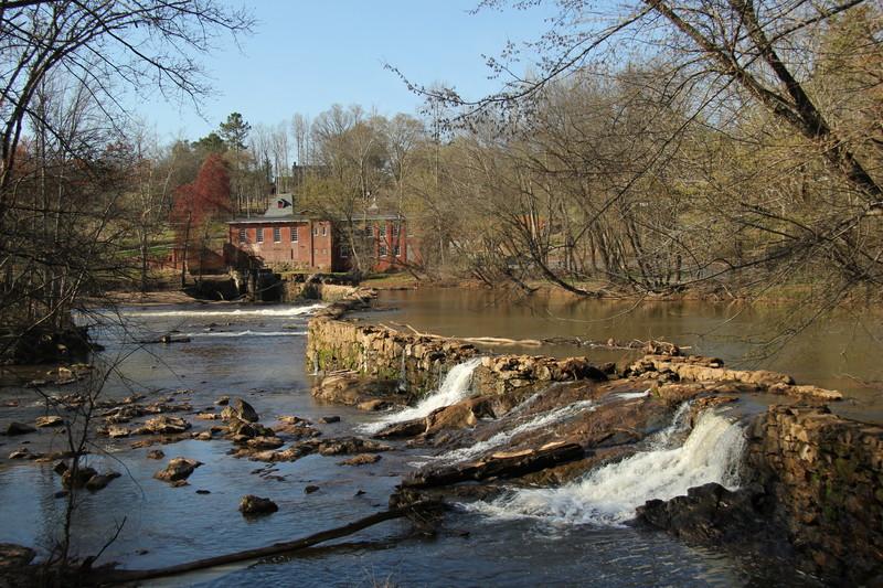
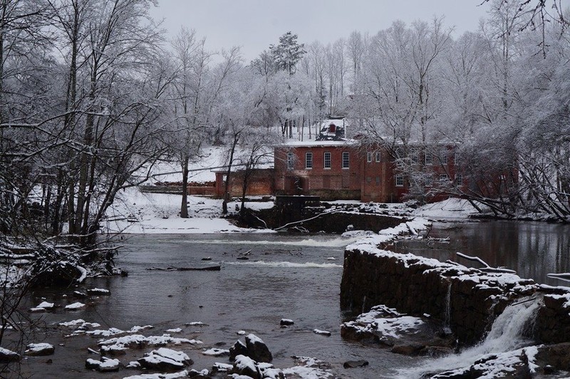
"Specifications: water-powered; the mill was a 3-story building plus a garret. The building was 45 feet by 31 feet. The first floor was built of rocks/stones and contained the water looms. The water wheel was placed on the south side of the building where a water trunk of 60-70 feet off a dam, which the owners had built, fed the machinery.” www.historync.org/LincolntonCottonMill.htm
Trail Tips
Pace Yourself
Plan to exercise for short time or distance, at a comfortable pace. As you become more active, you can gradually increase your output and notice your endurance as it improves.
Trailhead
Parking Address: Near 2677 Laboratory Road, Lincolnton, NC 28092. MAP
Trailhead Location: MAP
Description
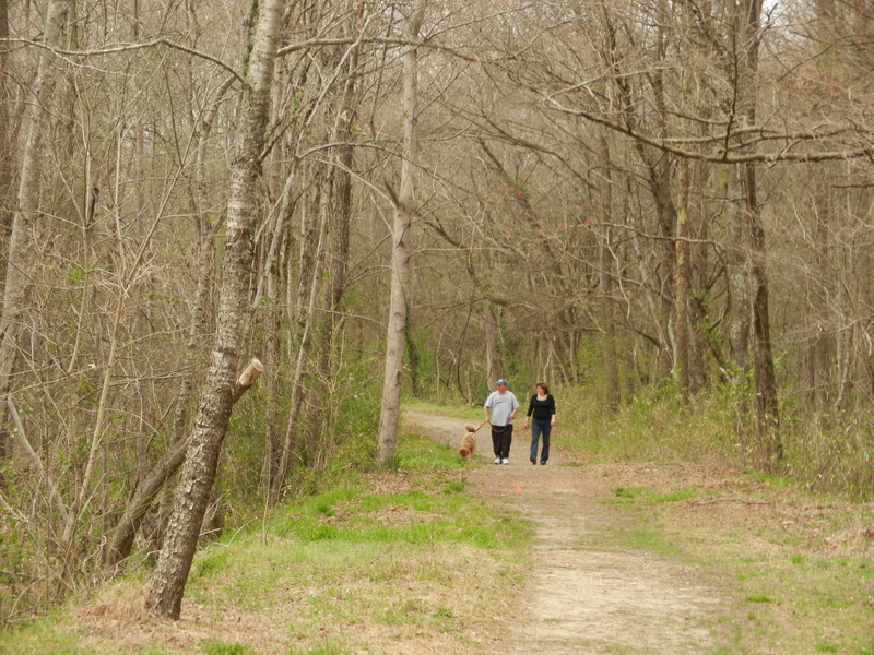
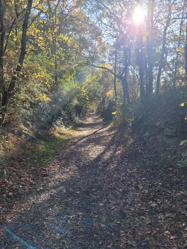
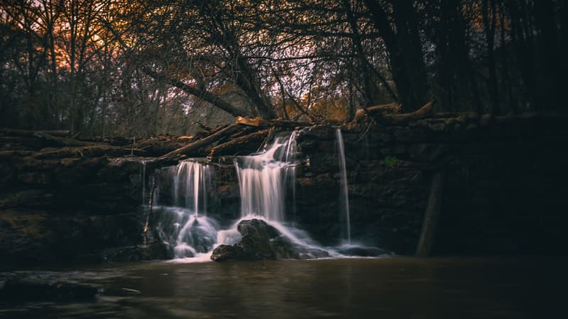
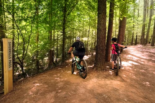
The South Fork Rail Trail is a combination of natural surface and crushed gravel trail, providing nice terraced views of the South Fork of the Catawba River. Enjoy biking or hiking along the 2 miles of trail located on the the 324-acre Rhyne Preserve and protected by the Catawba Lands Conservancy.
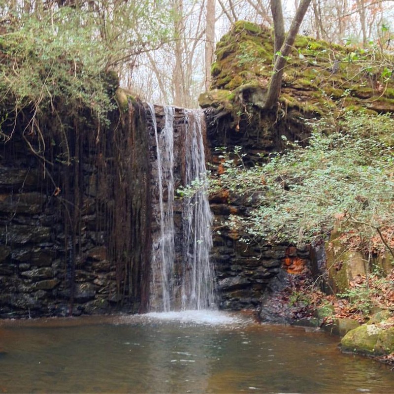
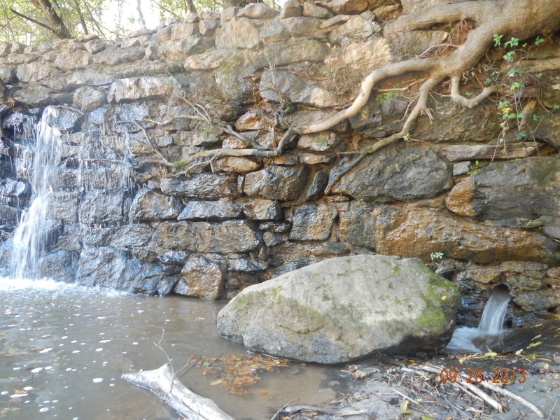
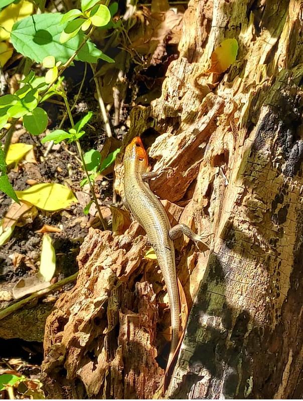
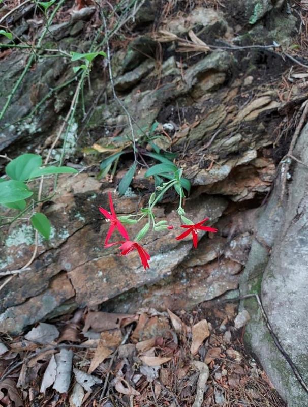
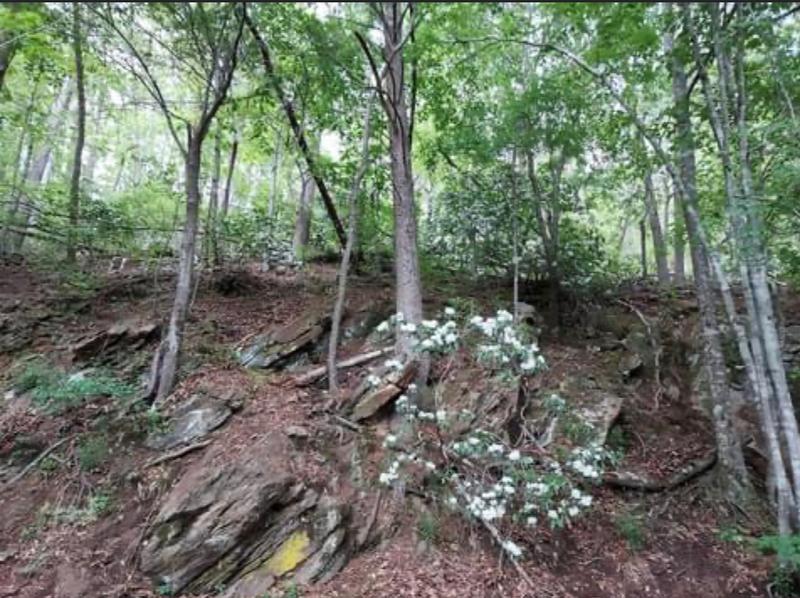
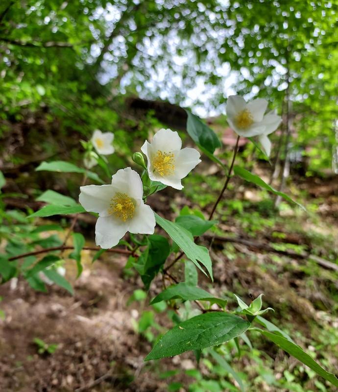
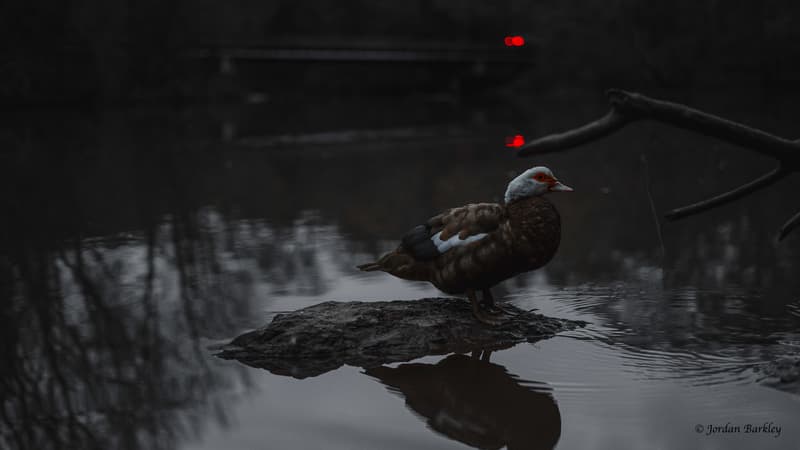
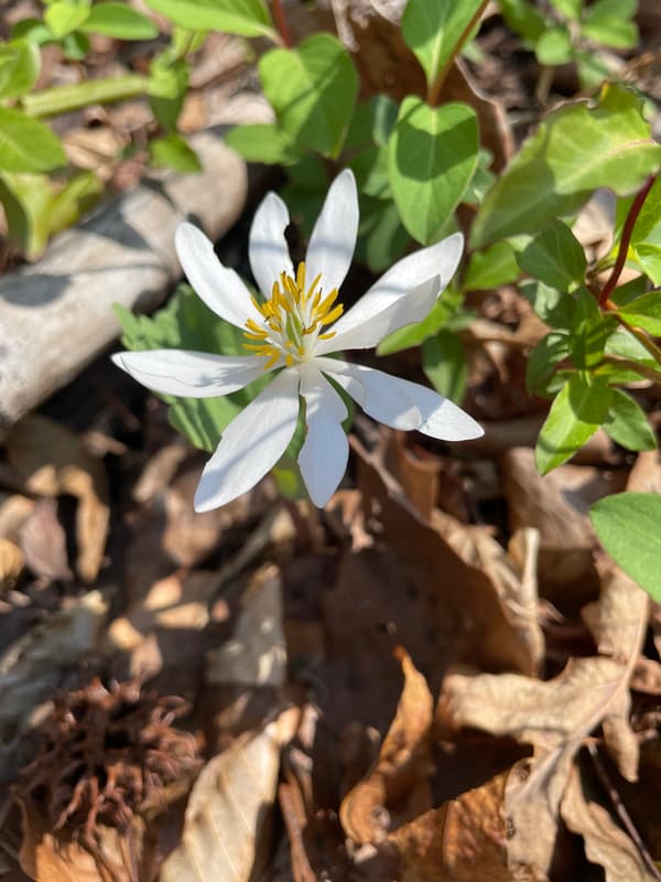
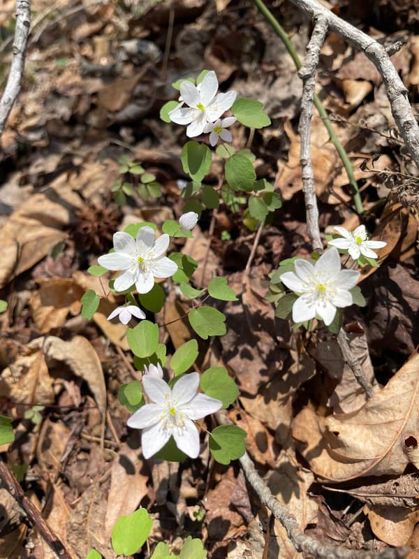
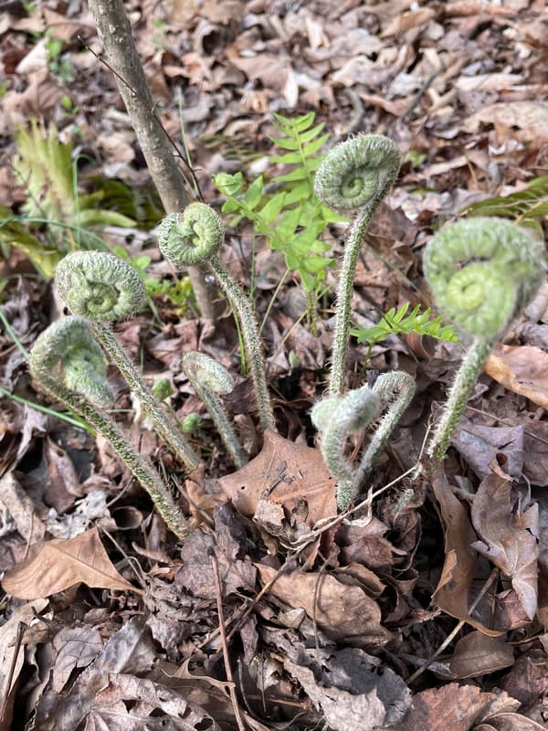
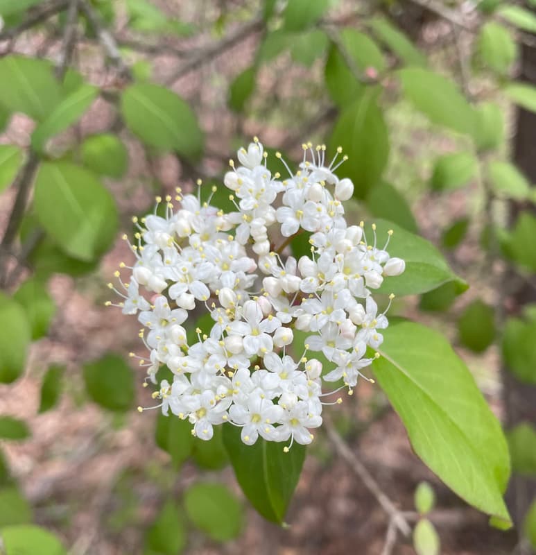
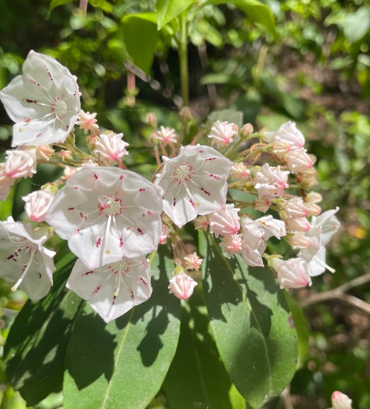
Visitors to the trail can experience one of Lincoln County’s finest natural areas, including mature floodplain forests along the South Fork Catawba River, a bald cypress swamp, rock outcrops, and lovely wildflowers. The preserve also provides important habitat for migratory songbirds and other wildlife species.
You can see the historic Laboratory Mill across the South Fork River which is now an event venue. This site was known as Lincolnton Cotton Factory 1819-1863.
“Located two miles south of Lincolnton in Lincoln County, was one of at least five laboratories established by the Confederate States of America to manufacture drugs from indigenous plants. The other known facilities were located in Tyler, Tex; Augusta and Macon, Ga; and Columbia, S.C. Although the actual date of construction is unknown, the Lincoln County laboratory was in operation by 24 Aug 1863. The original building was an oblong brick structure that stood on the banks of the South Fork River. Strict secrecy was maintained at the facility, and an aura of mystery surrounded it. Lt. A.P. James and the men of Company A, McCorkle’s Battalian, North Carolina Senior Reserves, were assigned to provide security for the site. Because of the tight security and the local availability of saltpeter and charcoal, some historians have speculated that the Lincoln County laboratory may also have been used for the production of gunpowder.” Encyclopedia of North Carolina, edited by William S. Powell. References: L.A. Crowell, “Historic Medicine,” Southern Medicine and Surgery (June 1933); John R. Friday, “Dr. A. Snowden Piggott and the Laboratory Facility”, Carolina Confederate (1993).
More history and current use can be found on The Laboratory Mill Website.
Other Information
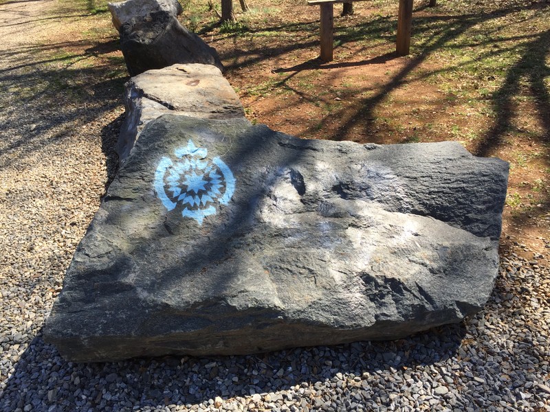
South Fork Rail Trail is a part of the Butterfly Highway. "The Butterfly Highway is a statewide conservation restoration initiative that aims to restore native pollinator habitats to areas impacted by urbanization, land use change and agriculture across North Carolina. From backyard Pollinator Pitstops to large-scale roadside habitat restoration, the project is creating a network of native flowering plants to support butterflies, bees, birds and other pollen and nectar dependent wildlife." NC Wildlife Federation-Butterfly Highway Website
Trail Manager
Visit Catawba Lands Conservancy website for more information or contact:
Catawba Lands Conservancy
4530 Park Road, Suite 420
Charlotte, NC 28209
Phone: 704-342-3330 x209
sharon@catawbalands.org