First Broad River TrailFirst Broad River Trail is currently closed to the public for trail maintenance. Please check back and enjoy the improved trail once work is done.

Salisbury Greenway

The Salisbury Greenway links several parks via greenways connected by neighborhood streets and sidewalks. The existing segments total 4.1 miles and provides numerous opportunities to view wildlife along Grants Creek and its tributary.
Trail Uses
Walking / hiking / running Paved surface biking
Location
Salisbury (NC)
Length
4.10 miles, One Way
Difficulty
Easy
Surface
Boardwalk, Sidewalk, Pavement
Motorized Vehicles
Not Permitted
Fees
No
Pets
Permitted on leash
Parking Spaces
20+
Restrooms
Unknown
Hours
Dawn to Dusk

Description

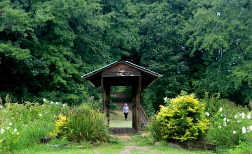
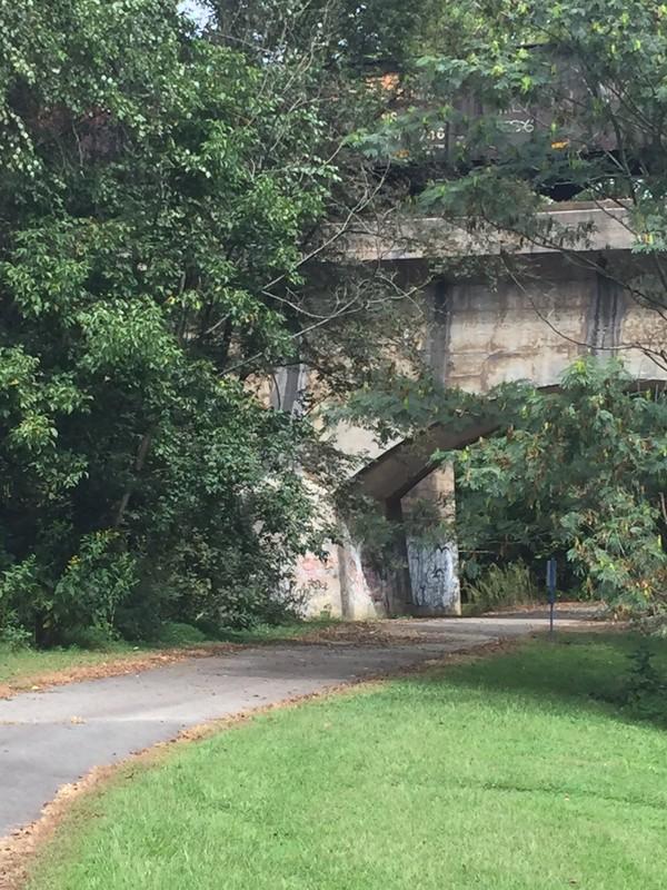
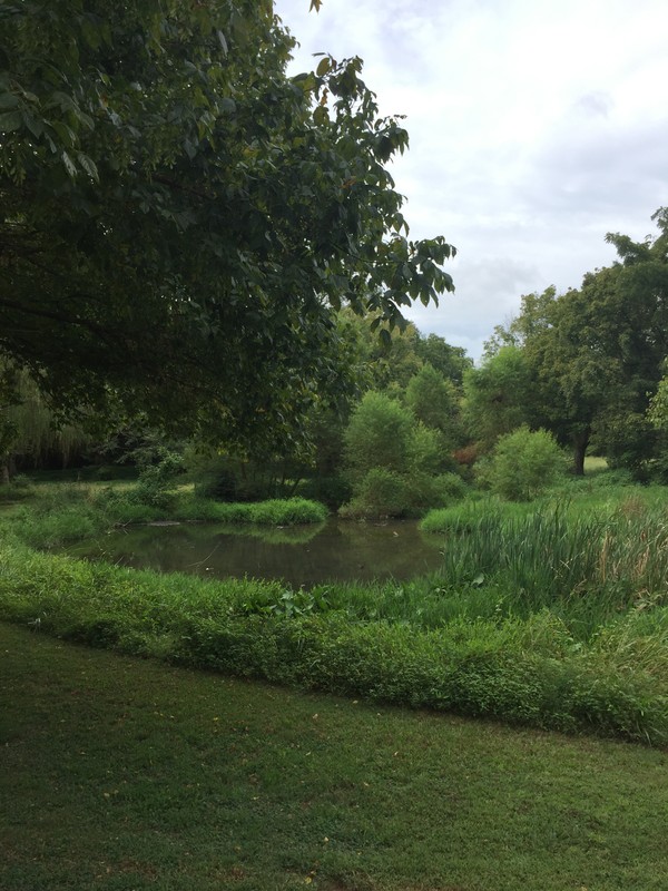
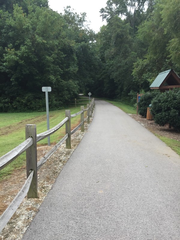
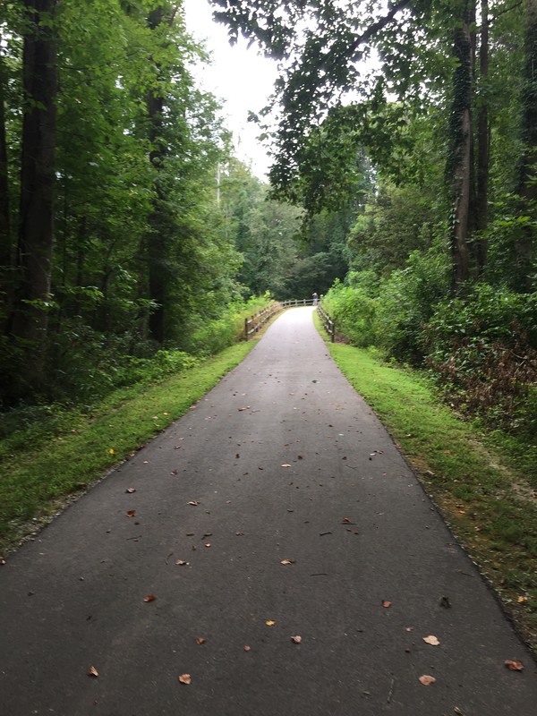
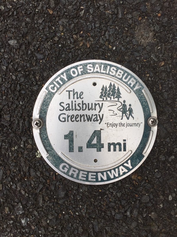
Salisbury Greenway is a network of greenways and sidewalks weaving from Milford Hills Road near Grants Creek, through Kelsey Scott Park, along residential streets, through Forest Hill Park, and past Mahaley Park to reconnect with Grants Creek and reach Prescot Drive. Another greenway segment in the network connects Hogans Valley Way to Forestdale Drive at the back of Catawba College. Eventually, as design progresses on two more segments, the Salisbury Greenway will become a 5.2-mile loop.

Other Information

See Salisbury Parks and Rec Master Plan for more information.

Trail Manager

City of Salisbury
217 S. Main St.
Salisbury, NC 28144

704-216-PLAY
play@salisburync.gov
View website

Featured Post

Trail Power: Economic study shows how trails benefit communities
For trail users and supporters, it’s no secret that access to the outdoors brings many benefits. Better health for users of course, but also positive economic and environmental impacts for communities. Thanks to a recent study about the Carolina Thread Trail network, we can now assign a monetary value to many of these intangibles.
> Read Post

Trail Tips

Road Walk Wisdom
Always walk facing the direction of oncoming traffic and wear bright clothing. Pay attention to oncoming traffic, and be prepared to give the right of way if necessary.
Legend
Hide All

Trailhead Information

Trailhead Location and Street Crossing: 383 Grove St, Salisbury, NC 28144 MAP

Trailhead Location and Parking Access: Overton Elementary School, 1825 W Park Rd, Salisbury, NC 28144 MAP

 
Click on an icon to get custom directions
Please Log In or Create Account to add comments.
January 27, 2022
Thank you so much for your comment Kevin, it's always great to hear what folks are actually experiencing on the trails. The Thread Trail is actually in the middle of a multi-year effort to refresh and add new signage to all of our trails, so this would be the right time to get more trail markers out on the Salisbury Greenway. I will make sure to mention it to our Director!

-Jennifer
Carolina Thread Trail Communications and Marketing Manager
navrine
January 26, 2022
Well planned and maintained, lacking in Trail Markers. Which is compounded with no crosswalks, while traversing, three highly traveled city streets.
Hang Tight!
Nearby services are loading
SHARE THIS TRAIL
PRINT THIS TRAIL

Add Trail Log

Please wait…
Join In on the Fun!
Log in or create an account below to unlock all the great features of Carolina Thread Trails: keep track of trails you want to do, preserve memories of trails you’ve done, and more!
Your log in attempt was not successful. Please try again.
    Lost your password? Reset your password
    Don't yet have an account?
    There was an issue with your submission. Please try again.
      * Indicates required field
      Already have an account? Login here
      Enter your username, and we will send you a new, randomly generated password to your email account.
      There was an issue with your submission. Please try again.

        Success! A new password has been emailed to you.

        Log in now

        Please wait…