First Broad River TrailFirst Broad River Trail is currently closed to the public for trail maintenance. Please check back and enjoy the improved trail once work is done.

Hanging Rock Battlefield Trail

The Hanging Rock Battlefield Trail is a small segment leading to the site of a historic outpost for the American Revolutionary War. There is a plaque that acknowledges the Battle of Hanging Rock and those who gave their lives.
Trail Uses
Walking / hiking / running
Location
Heath Springs (SC)
Length
0.30 miles, One Way
Difficulty
Easy
Surface
Natural surface
Motorized Vehicles
Not Permitted
Fees
No
Pets
Permitted on leash
Parking Spaces
4
Restrooms
No
Hours
Dawn to Dusk

Description

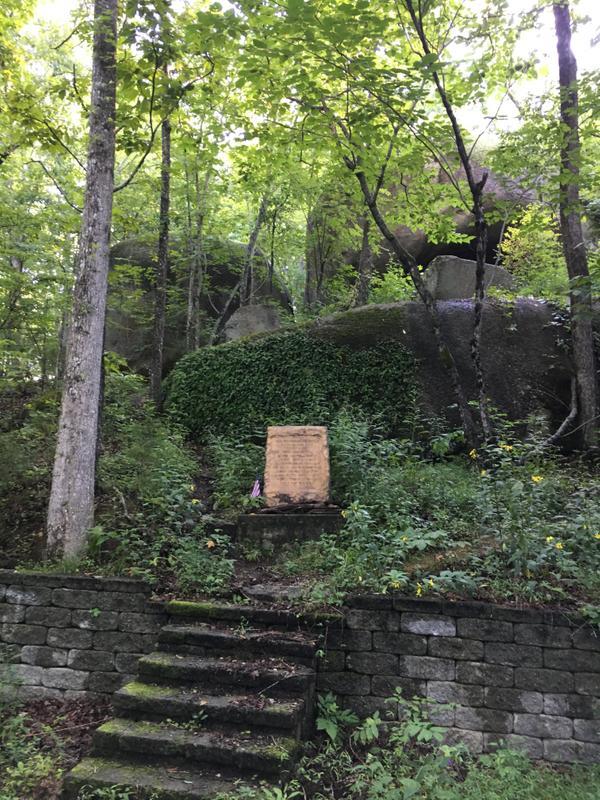
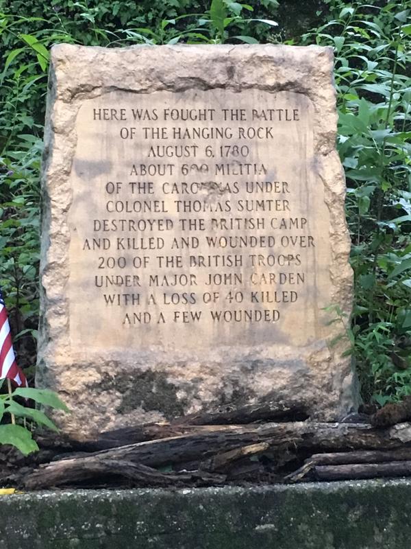
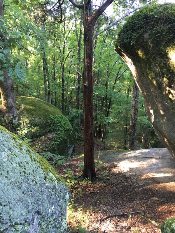
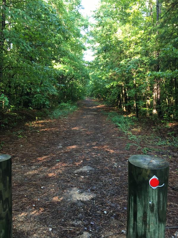
National Register of South Carolina Website reports "As part of a series of strongholds planned to maintain the British position in South Carolina, an outpost was established at Hanging Rock in 1780. The importance of this post was in its strategic location on the road from Camden to Charlotte. The first American attack on the post occurred on July 30, 1780, led by Major William Richardson Davie, with forty dragoons and forty mounted riflemen." The Carolina Thread Trail segment that leads to a large rock formation and a plaque honoring the soldiers lost and wounded during the Battle of Hanging Rock in  1780. The property is heavily shaded and remote but full of historic significance.

Other Information

The parking is limited to a couple of spaces in front of the trail.

Trail Manager

Contact for more information:

South Carolina Department of Natural Resources
1000 Assembly Street
Columbia, SC 29201
803-734-4009
View website
South Carolina State Park
1205 Pendleton St.
Columbia, SC 29201
803-734-0156
View website

Featured Post

Falcon Trail Takes Flight in Stanly County
Expanding the Carolina Thread Trail in rural communities takes a different approach than in urban centers. Even though the Village of Misenheimer is tiny (only 650 residents as of the last census), they have an outsized commitment to building the Thread Trail.
> Read Post

Trail Tips

Know Where to Go
Use a map to plan your activity and stay oriented while on the trails. Smart devices are making this easier, so don’t hesitate to bring one along.
Legend
Hide All

Trailhead Information

Parking Address and Trailhead Location: MAP

Click on an icon to get custom directions
Please Log In or Create Account to add comments.
Hang Tight!
Nearby services are loading
SHARE THIS TRAIL
PRINT THIS TRAIL

Add Trail Log

Please wait…
Join In on the Fun!
Log in or create an account below to unlock all the great features of Carolina Thread Trails: keep track of trails you want to do, preserve memories of trails you’ve done, and more!
Your log in attempt was not successful. Please try again.
    Lost your password? Reset your password
    Don't yet have an account?
    There was an issue with your submission. Please try again.
      * Indicates required field
      Already have an account? Login here
      Enter your username, and we will send you a new, randomly generated password to your email account.
      There was an issue with your submission. Please try again.

        Success! A new password has been emailed to you.

        Log in now

        Please wait…