Great Falls Rail Trail

This 1-mile trail in Great Falls, SC follows the former railroad bed. The level of difficulty is rated as easy, with a gradual but continuous change in elevation. The canopy of hardwood trees alternates with segments of open sky. The water below can be glimpsed through the trees.
Trail Uses
Walking / hiking / running Mountain biking
Location
Great Falls (SC)
Length
1.00 mile, One Way
Difficulty
Easy
Surface
Gravel/Crushed stone
Motorized Vehicles
Not Permitted
Fees
No
Pets
Permitted on leash
Restrooms
No
Hours
Dawn to dusk

Description

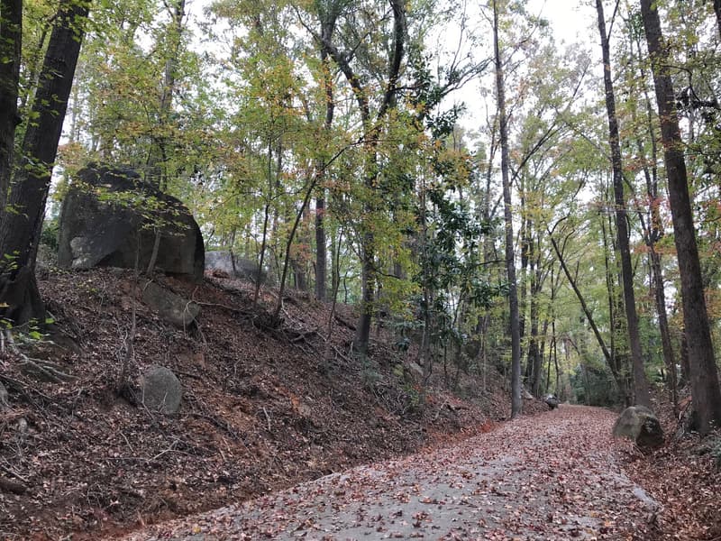
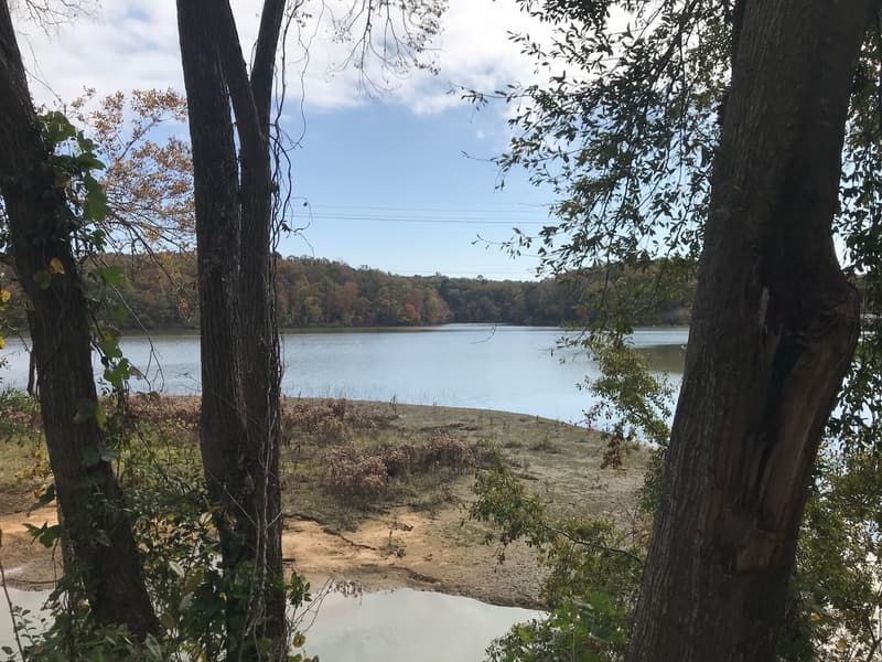
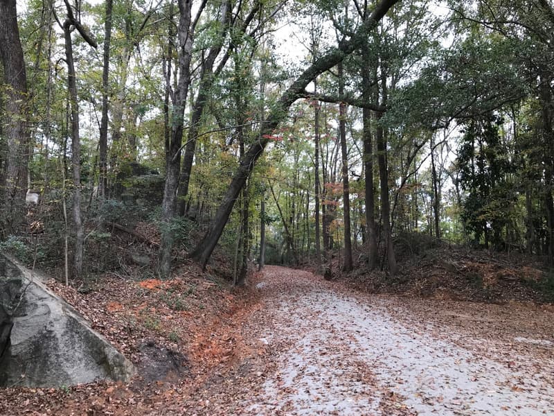
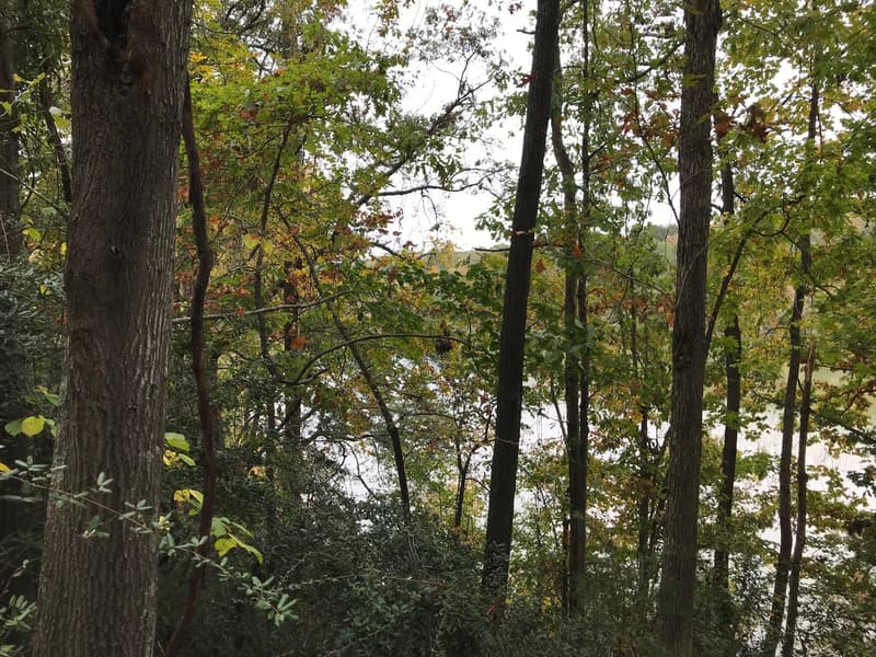
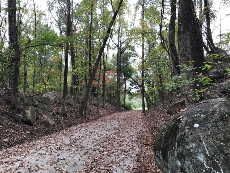
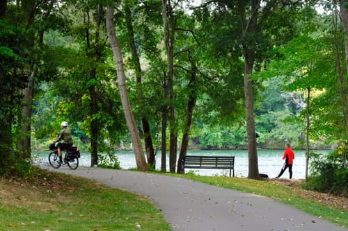
This 1-mile trail in Great Falls, SC follows the former railroad bed from the old depot (now residences) located south of town to North Street at Seaboard Street. The level of difficulty is rated as easy, with a gradual but continuous change in elevation. The canopy of hardwood trees alternates with segments of open sky. The water below can be glimpsed through the trees.

NOTE: A portion of the trail is currently closed due to construction of the future Great Falls Access Area, including the future bridge connection to Dearborn Island. This closure will be in place until construction is complete in late 2026. The area that is closed is marked on the map image below. For your safety, please respect trail closure signs and do not access the closed portion of the trail. Updated May 2025

Trail Manager

Great Falls Hometown Association
PO Box 215
Great Falls, SC 29055
(803) 482-2370
View website

Featured Post

Trail Power: Economic study shows how trails benefit communities
For trail users and supporters, it’s no secret that access to the outdoors brings many benefits. Better health for users of course, but also positive economic and environmental impacts for communities. Thanks to a recent study about the Carolina Thread Trail network, we can now assign a monetary value to many of these intangibles.
> Read Post

Trail Tips

Tune In, Not Out
Keep the volume of portable music devices on low, so that you can hear other trail users and traffic.
Click on an icon to get custom directions
Please Log In or Create Account to add comments.
shutterbug
May 06, 2025
Best place to park is the Canal Street access (38 Canal Street) with plenty of parking. While it looks like there is parking at the depot off Republic Street, there are mailboxes and a "No Trespassing" sign - it appears to be rental housing. For our point-to-point hike, we parked our second car at the southern trailhead right before the depot, there's room for 1-2 cars. That's where we started. Mix of shade and sun, gravel trail mixed with sand. There was a little bit of street hiking at the end to get back to Canal Street, and we also walked down the launch access trail to the reservoir.
threadchis
November 14, 2024
Is parking available anywhere along the trail?
Hang Tight!
Nearby services are loading

Trail Alerts

Trails
Partial Temporary Closure

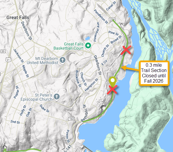
A section of these trails is closed, please plan accordingly.

SHARE THIS TRAIL
PRINT THIS TRAIL

Add Trail Log

Please wait…
Join In on the Fun!
Log in or create an account below to unlock all the great features of Carolina Thread Trails: keep track of trails you want to do, preserve memories of trails you’ve done, and more!
Your log in attempt was not successful. Please try again.
    Lost your password? Reset your password
    Don't yet have an account?
    There was an issue with your submission. Please try again.
      * Indicates required field
      Already have an account? Login here
      Enter your username, and we will send you a new, randomly generated password to your email account.
      There was an issue with your submission. Please try again.

        Success! A new password has been emailed to you.

        Log in now

        Please wait…