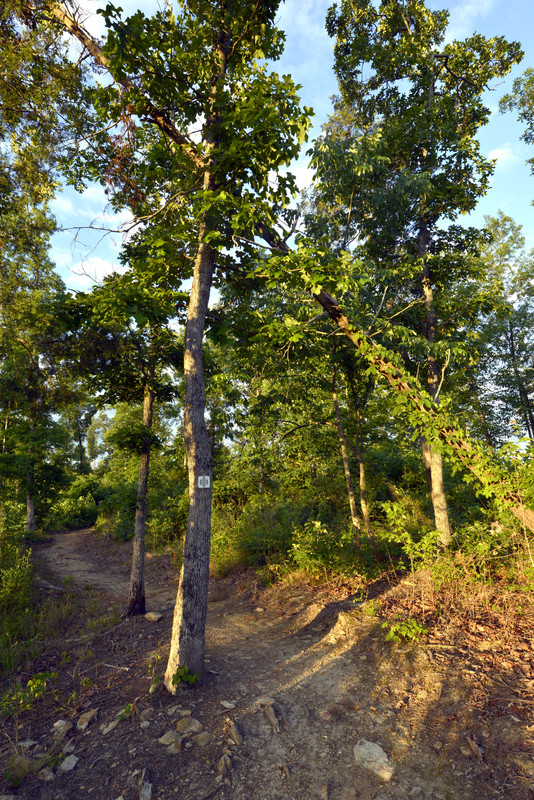
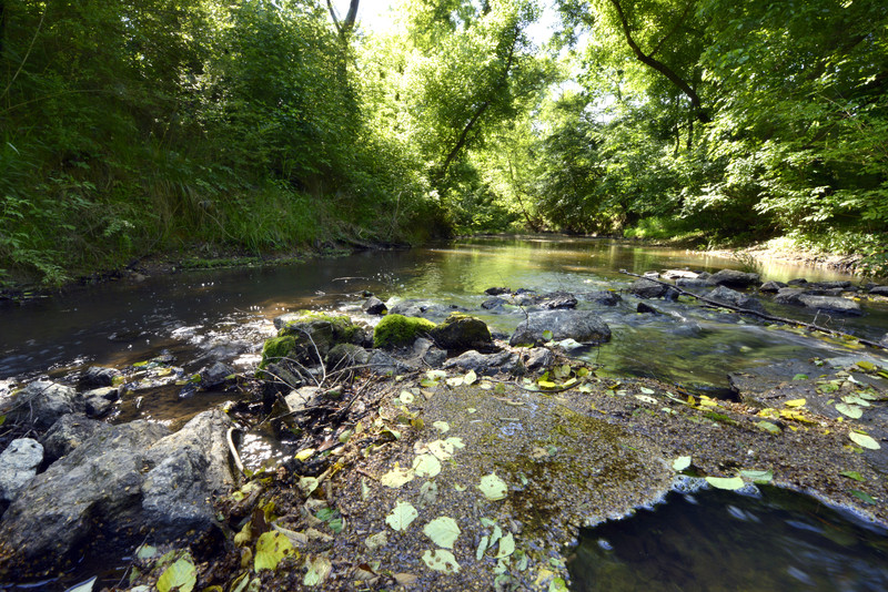
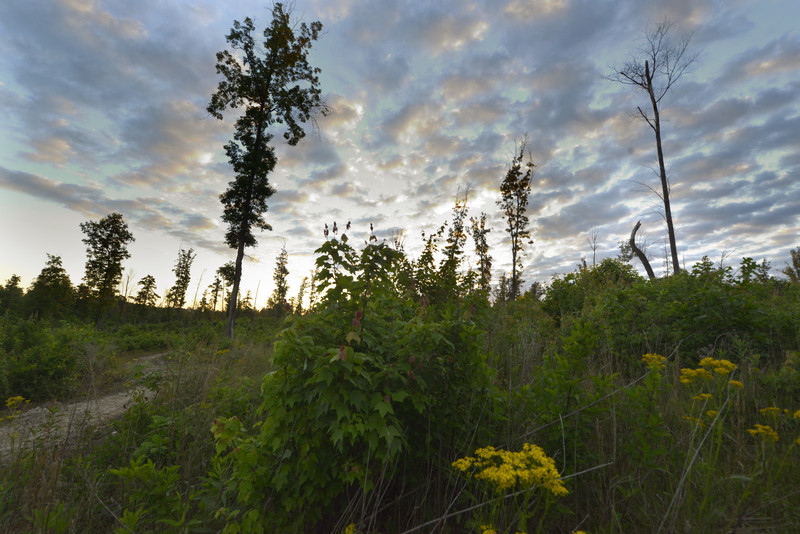
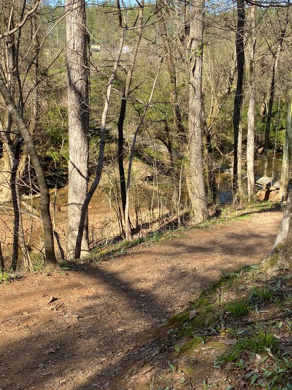
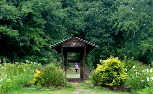
The Buffalo Creek Preserve Trail is located in the town Mount Pleasant, NC in rural Cabarrus County. The trail features a natural surface trail and gravel road overland connector used for walking, hiking, running, and mountain biking. Visitors to Buffalo Creek Preserve Trail will first pass through a restored piedmont oak savanna, followed by a segment along fields where a local farm is growing hay and grains. The trail then enters a young forest and follows along a bluff above Adams Creek, providing a view Mount Pleasant.
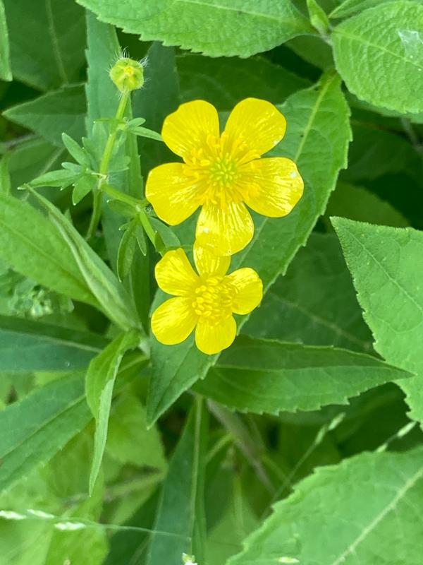
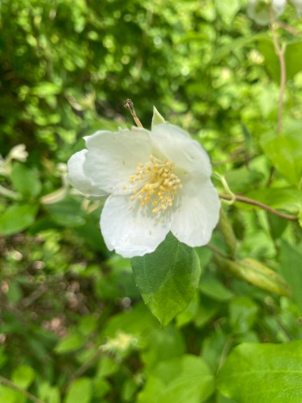
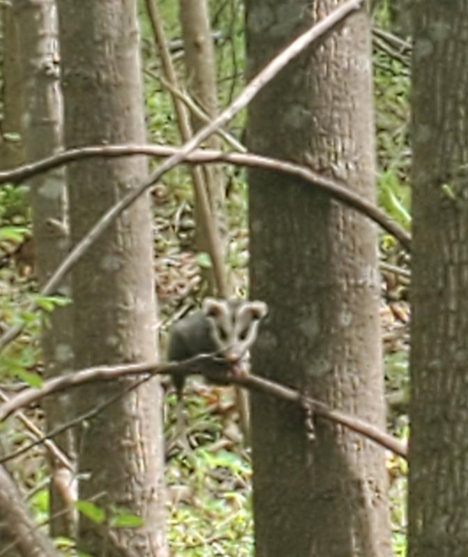
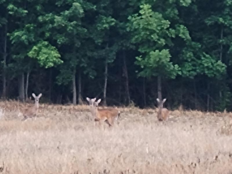
The 393-acre preserve that is home to this trail protects several streams, ponds and wetlands to enhance water quality. Located along both Adams Creek and Dutch Buffalo Creek, the preserve is composed of working agricultural fields and natural forests, as well as wildlife habitat for several nesting birds and wildlife. Catawba Lands Conservancy is working to restore a piedmont oak-savanna at the trailhead. This habitat type, which is home to numerous ground-nesting birds and prairie species, is in decline throughout the piedmont of the Carolinas.
The farmland, over 130-acres, is leased to a local farmer here in Cabarrus County. The farmer has implemented Best Management Practices which supports farming and wildlife. While enjoying this property, please be respectful of this local farm's hard work to grow hay and grains (corn, soybeans, and wheat) that are used to local feed cattle.
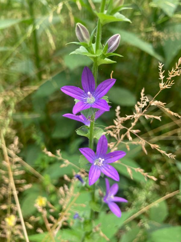
Buffalo Creek Preserve Trail is a part of the Butterfly Highway. "The Butterfly Highway is a statewide conservation restoration initiative that aims to restore native pollinator habitats to areas impacted by urbanization, land use change and agriculture across North Carolina. From backyard Pollinator Pitstops to large-scale roadside habitat restoration, the project is creating a network of native flowering plants to support butterflies, bees, birds and other pollen and nectar dependent wildlife." NC Wildlife Federation-Butterfly Highway Website
Visit the Catawba Lands Conservancy's website for more information or contact:
Parking Address and Trailhead Location: Near 7911 Malibu Road, Mt Pleasant, NC 28124 MAP
Parking is only permitted within the available parking lot at the trailhead. Please do not park along Malibu Road.
Success! A new password has been emailed to you.