"The Pee Dee River, also known as the Great Pee Dee River originates in the Appalachian Mountains in North Carolina, where its upper course, above the mouth of the Uwharrie River is known as the Yadkin River. It is extensively dammed for flood control and hydroelectric power. The lower part of the river is named Pee Dee after the Native American Pee Dee tribe. The Pee Dee region of South Carolina, composed of the northeastern counties of the state, was named after the tribe and/or river. The first Europeans believed to have navigated part of the river was a party sent by Lucas Vázquez de Ayllón in 1521. They named it "River of St. John the Baptist."
The river was an important trade route through the Low Country from colonial times. The largest lumber company in the world existed at the turn of the 20th century near the river's mouth at Georgetown. The virgin pine forests of the Pee Dee region were cut over, and the logs floated in rafts downriver to be sawn into lumber and exported to the northern United States and Europe.
The lower part of the river flood plain was extensively developed for rice culture in colonial time; rice was the major export of the area from the port at Georgetown. Rice culture declined with the loss of slave labor after the Civil War, and increased overseas competition. Two hurricanes at the beginning of the 20th century destroyed much of the rice canal infrastructure and effectively ended the remnants of rice culture.
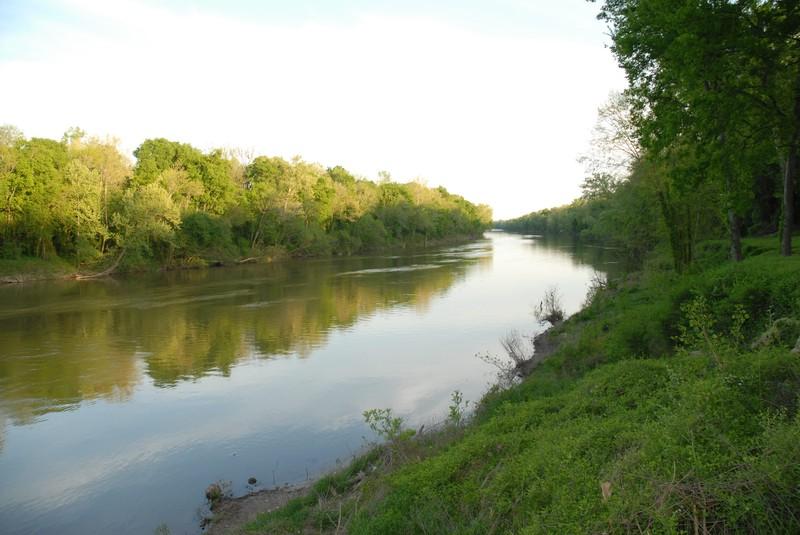
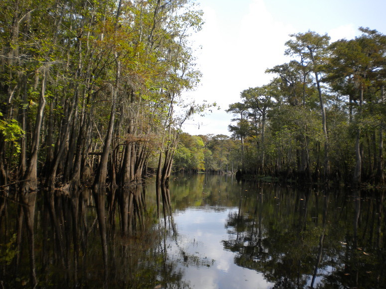
Today the river is not extensively used for navigation. It is an important source of electric power and public water supplies, as well as recreational use. While the Pee Dee is free-flowing in South Carolina, upstream in North Carolina, several dams have been constructed on it. The opening and closing of these dams causes dramatic swings in the depth of the river in South Carolina. The sharing of water between the two states has sometimes been a matter of controversy, particularly during period of drought. Some commercial fishing is done during the winter shad run, and for shrimp in the lower reaches. The river is excellent for recreational fishing and boating. There are numerous boat landings, yet most of the river is wild, with forests of tupelo, oak and gum along its shores. Herons and alligators can be seen along the way, and a lucky sighting of a bald eagle is possible.
The lower part of the river from Highway 378 to Winyah Bay has been designated a Scenic River.
Some tributaries are the Lumber, the Little Pee Dee, Lynches, Black and Waccamaw rivers. The river empties into Winyah Bay, and then into the Atlantic Ocean near Georgetown." - Wikipedia
Check out the Pee Dee National Wildlife Refuge page on the US Fish and Wildlife website for more information.
Available campgrounds:
The site manager for each launch is listed under the launch information.
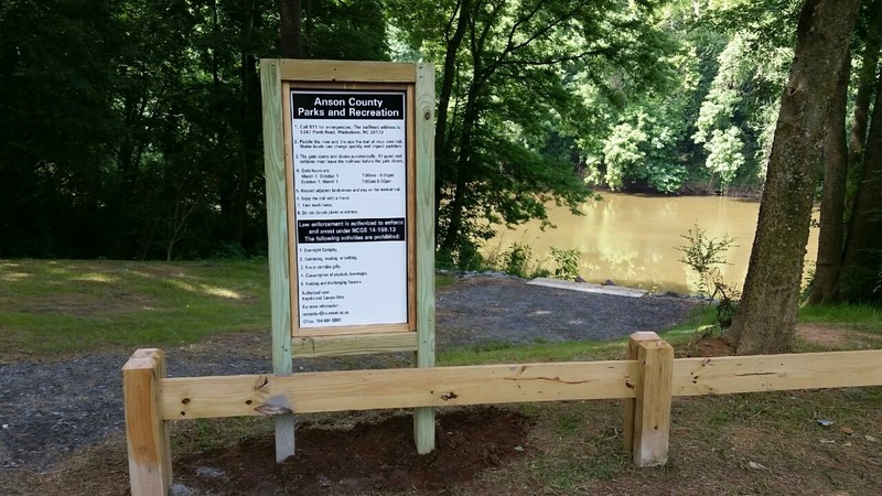
The Thread Trail segment of the Pee Dee River has three launches located along its course in addition to the Clark's Creek Access which is north of where the Rocky River confluences with the Pee Dee River and just south of Lake Tillery and two other launches south of the Blewett Falls Lake Dam.
Launch 1: Clark's Creek
Address - 177 Tillery Dam Road, Mount Gilead, NC 27306 MAP
*This access is upstream from the Rocky River and Pee Dee River confluence, on the Pee Dee. This is the northern-most access on the Pee Dee River.
Operated by NC Wildlife Resources Commission
Launch 2: Pee Dee Wildlife Refuge (Approximately 7.5 miles from Norwood; 9 miles from Clark's Creek)
2211 Griffin Road, Wadesboro, NC 28170 MAP
Operated by US Fish and Wildlife Service
Launch 3: Red Hill (Approximately 3.5 miles from Pee Dee NWR)
Address - State Road 1671, Wadesboro NC 28170 MAP
*From the intersection of US 74 and NC 109, travel NC 109 north 9 miles. Before crossing the Pee Dee River bridge, turn right on the access road.
Operated by NC Wildlife Resources Commission
Launch 4: Blewett Falls Lake (Approximately 16 miles from Red Hill)
Address- State Road 1759, Lilesville NC 28091 MAP
Operated by NC Wildlife Resources Commission
ATTENTION: There is a dam at Blewett Falls Lake with no portage trail around the dam. You will have to take out at Blewett Falls Lake and drive to the launch after the dam at Blewett's Grave Access to continue along the Pee Dee River.
Launch 5: Blewett's Grave
Address- 1068 Blewett Falls Road, Rockingham, NC 28379 MAP
Operated by NC Wildlife Resources Commission
Launch 6: Rockingham (Approximately 3.5 miles from Blewett’s Grave)
Address- 1333 West U.S. 74 Hwy., Rockingham, NC 28379 MAP
Operated by NC Wildlife Resources Commission
Success! A new password has been emailed to you.